Maps
Dating mostly from the 18th to 20th centuries, they include atlases, topographic and cadastral maps, insurance plans, and street, transportation, and communication maps, and were produced by entities ranging from the Egyptian Survey Authority to the British military and UNESCO. Travel and other maps may also be found in various rare books and archival collections.
RBSCL also maintains eleven historical atlases of Egypt, the most prominent one of which is the Historical Atlas of Lower Egypt by Prince Omar Tusson (1:250,000). This work has a sequence of nine maps that show the urban development of Egypt’s Delta from the Byzantine period up until 1933. Other noteworthy cartographic works include the National Atlas of Egypt, published by the Survey of Egypt in 1928, following the International Geographical Union conference at the Egyptian Geographical Society in 1925.
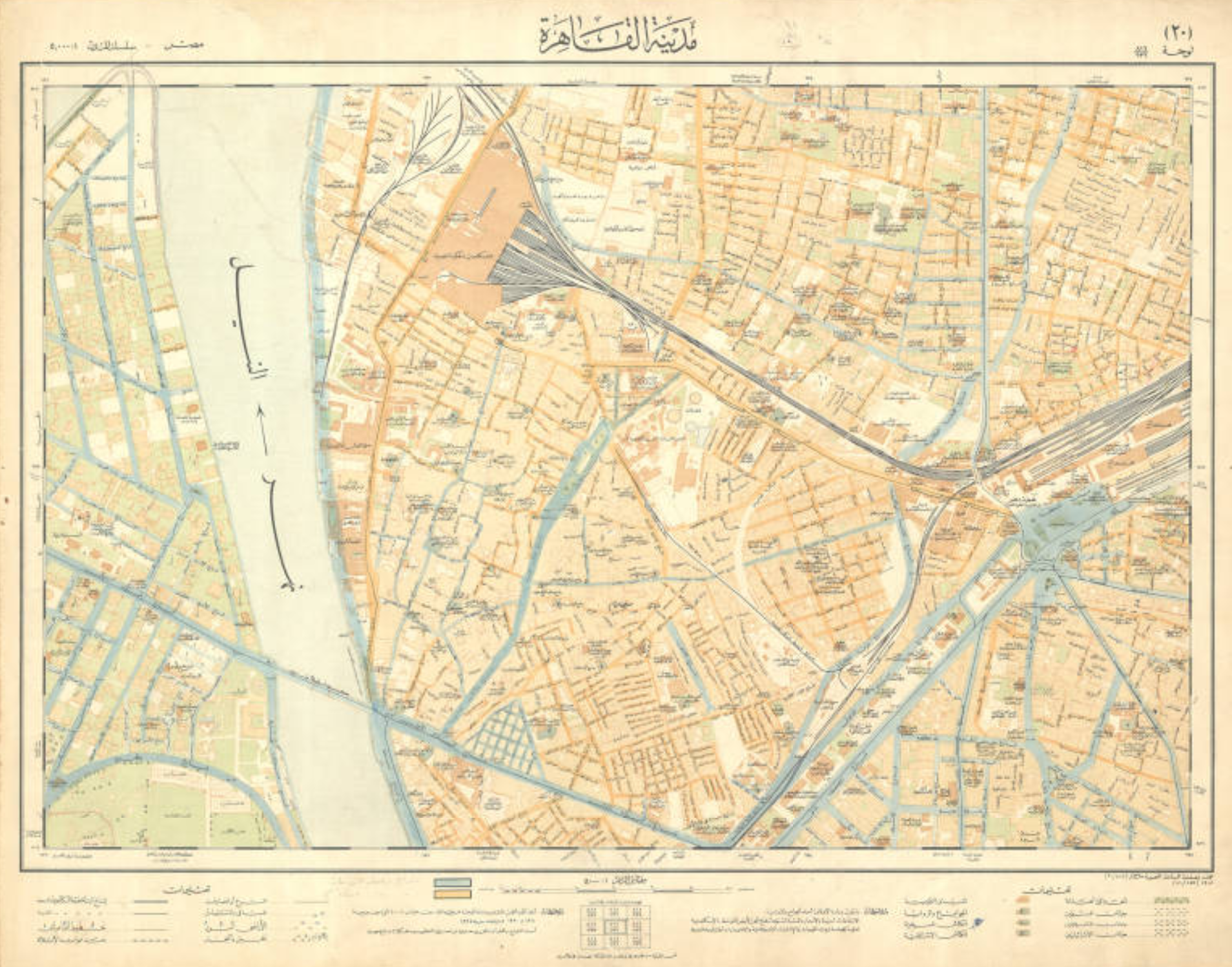
Selected maps, including the detailed insurance plans of downtown Cairo, are available in the Rare Books and Special Collections Digital Library.
For guidance, contact our specialists and see visiting and doing research.
Search our collections via the Library Catalog and Rare Books and Special Collections Digital Library.